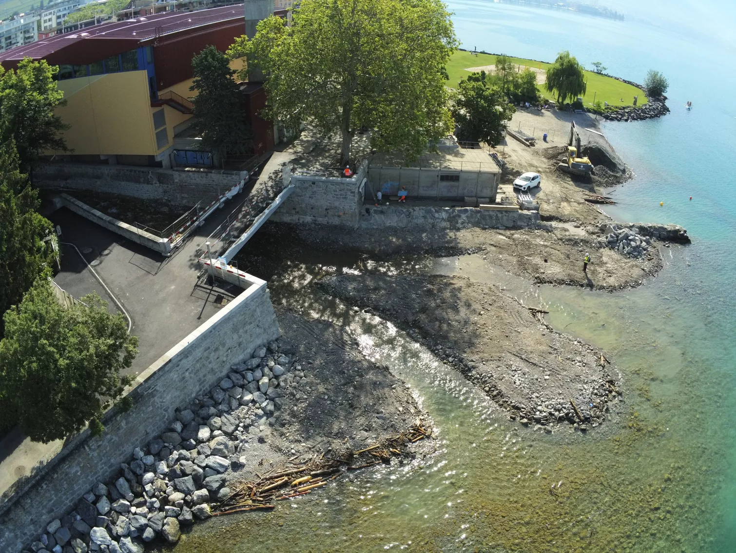
Securing and protecting the Baye de Clarens
Middle section - Lots A, B, C and D
A hazard map of the Baye de Clarens was produced by Gruner Stucky in 2008. This hazard map highlighted the significant risks to which certain urbanized areas of Clarens are exposed, due to the lack of hydraulic capacity of the Baye de Clarens, aggravated by solid transport and bridge jams. The study also led to the development of a flood protection concept. The measures covered by the present assignment form part of the concept for securing and protecting the Baye de Clarens.
Lot A: Increase the hydraulic capacity of the watercourse over a hundred meters downstream of the Foge bridge by creating a major bed on the left bank. The bed of the Baye de Clarens has also been shifted a few metres towards its left bank, to give the foot of the right bank slope a more stable gradient. The right bank is protected with loose riprap. The bed of the watercourse is fixed by the installation of a ramp and four rockfill sills.
Lot B: Ensure natural sediment dynamics in the watercourse by preventing alluviation at the Tavel bridge and footbridge. The existing weir downstream of the Tavel bridge has been demolished and replaced by a concrete riprap ramp. The bed upstream of the Tavel footbridge was stabilized by the installation of four drowned sills in loose riprap, in order to limit the risk of destabilization of the right bank.
Lot C: Ensure fish migration at the existing trough under the CFF bridge. Ten successive concrete weirs with a maximum height of 40 cm were built on the existing ramp under the SBB tracks. These weirs create ten successive basins with a minimum depth of 20 cm. Downstream of the weir, the bed was enriched with large boulders over a length of around 40 m. This increased the equilibrium slope, ensuring continuity of the longitudinal profile and facilitating fish migration in the vicinity of the structure.
Lot D: Ensure natural sediment dynamics in the watercourse by avoiding alluviation at the RC780 bridge. The existing weir upstream of the RC780 bridge is extended by a concrete riprap ramp. Downstream of the RC780 bridge, the old rubble trough is demolished and the bed of the Baye de Clarens is lowered and reshaped to a slope of around 4%. The bed is stabilized by the installation of embanked riprap sills spaced at approximately 8 m intervals.
Services :
- Hydraulic modelling / Sediment study / Sizing ;
Inquiry file, tender file; - General coordination and support for the project owner;
- Procuemement support foreleaboration of the Invitation to tender, execution design and works supervision.
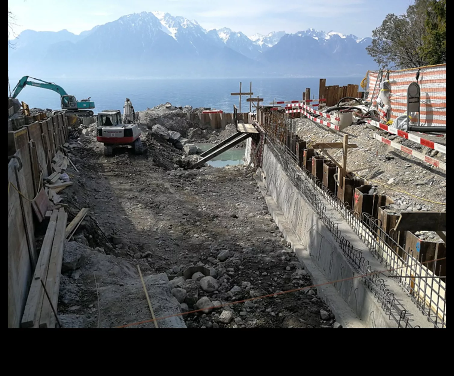
Total cost of construction :
approx. 1.2 million CHF
Client
- Entreprise de correction fluviale de la Baye de Clarens (ECF)
Services
- Water management
- Hydraulics and lake development