
Enguri Hydrology Initiative
a river basin wide initiative to prioritize climate risk management
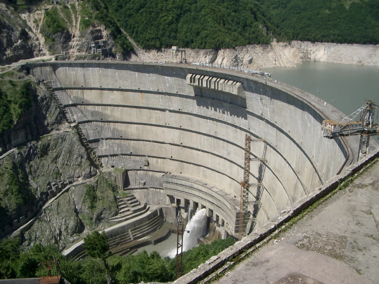
The Enguri River Basin
The Enguri River originates in the region of Samagrelo-Zemo Svaneti and holds great hydropower potential. Upstream of the Enguri Dam the catchment has an area of 3’175 km2 of which 7% is covered by glaciers. While the Enguri Dam is situated at an altitude of roughly 310 m above sea level, the highest point of the catchment is approximately 5’000 m above sea level. The land cover is typical of a mountainous region: villages and forested areas at lower altitudes, grassland, bare rock, and glaciers at higher altitudes.
The hydrological regime is strongly marked by the accumulation and melting of snow and ice. Usually, the annual precipitation over the catchment is 900 to 1300 mm. Given the rough topography, the temperatures in the catchment are highly variable.
Enguri Hydrological Initiative
The Enguri Hydrological Initiative (EHI) is implemented by a team of international experts consisting of a consortium of national and international stakeholders. The leader of the team is Gruner Stucky Ltd, along with team members the Swedish Meteorological and Hydrological Institute (SMHI), which is known for its outstanding work in hydrology, meteorology, and climate change, as well as SD Strategies, an innovative company specializing in sustainable development, climate action and governance based in Berlin.
The project focuses on the Enguri River basin and includes the establishment of a consultative group for active collaboration, data and information sharing, and the introduction of international best practice for utilizing hydro-meteorological data and hydrological modelling for hydropower operators and others. With institutional and technical aspects, the project will contribute to more informed hydropower plant operations and more efficient energy markets. Due to the central role of the Enguri River basin in the country – due to its significant installed capacity and hydropower potential still to be exploited – the project is poised to have significant local and national implications.
Going beyond desk studies and knowledge transfer workshops, the initiative explores state-of-the-art tools to develop and implement an operational inflow forecasting system for the basin.
The Enguri Hydrology Initiative is a two-year project that started in 2021. The project is financed by the Austrian government (Drive Fund) as a grant to Georgia, administered by the European Bank for Reconstruction and Development. The Project is managed by the Georgian Energy Development Fund.
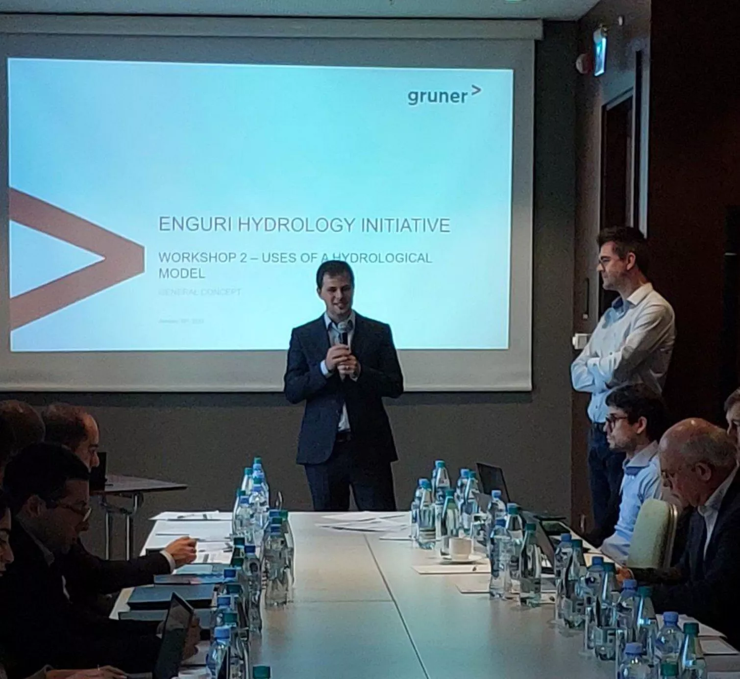
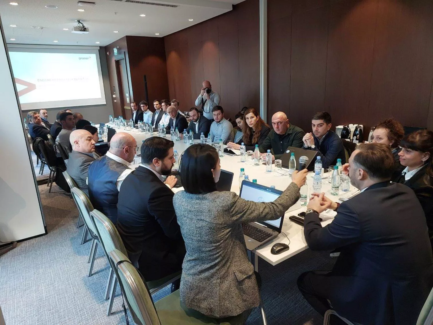
See recent news on the 2nd Workshop of the Enguri Hydropower Initiative.
Building Contractor
- EBRD
Client
- GEDF
Services
- Advanced Inflow Forecasting for Hydropower Operations
- Hydrology, hydraulics and sediment transport
- Hydropower & dams